Title: LiDAR Drone for 3D Terrain Modelling & Forestry Applications
By: [Author] — [Date]

Challenge:
Traditional surveying in forests and hilly terrain is slow, expensive, and often lacks fine detail.
Solution:
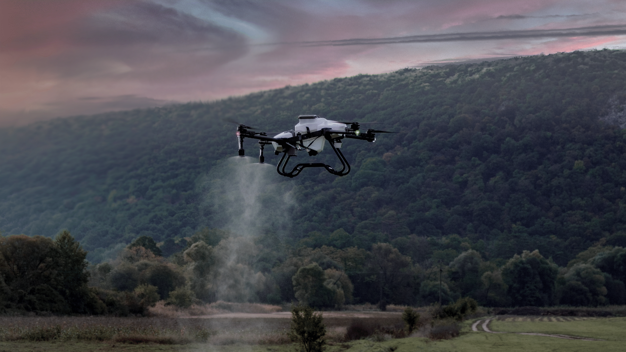
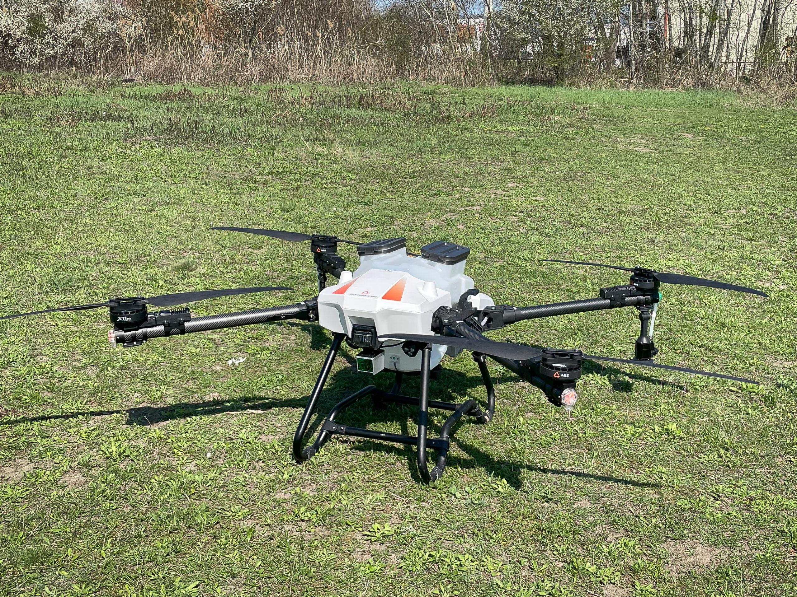
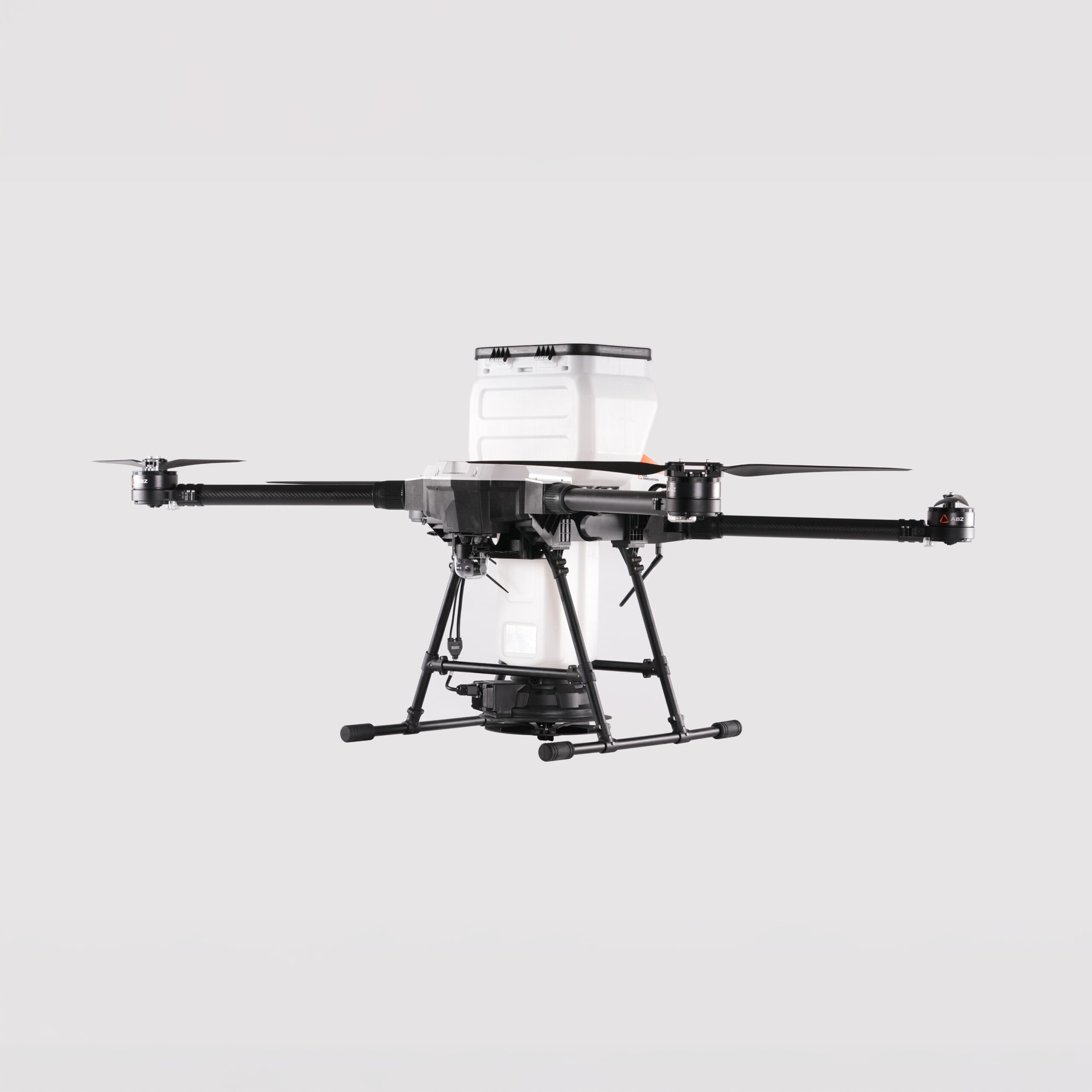
Use a drone-mounted LiDAR module paired with stable UAV (compatible with maybe L or M series) to capture dense point clouds, generate 3D terrain models, canopy height etc.
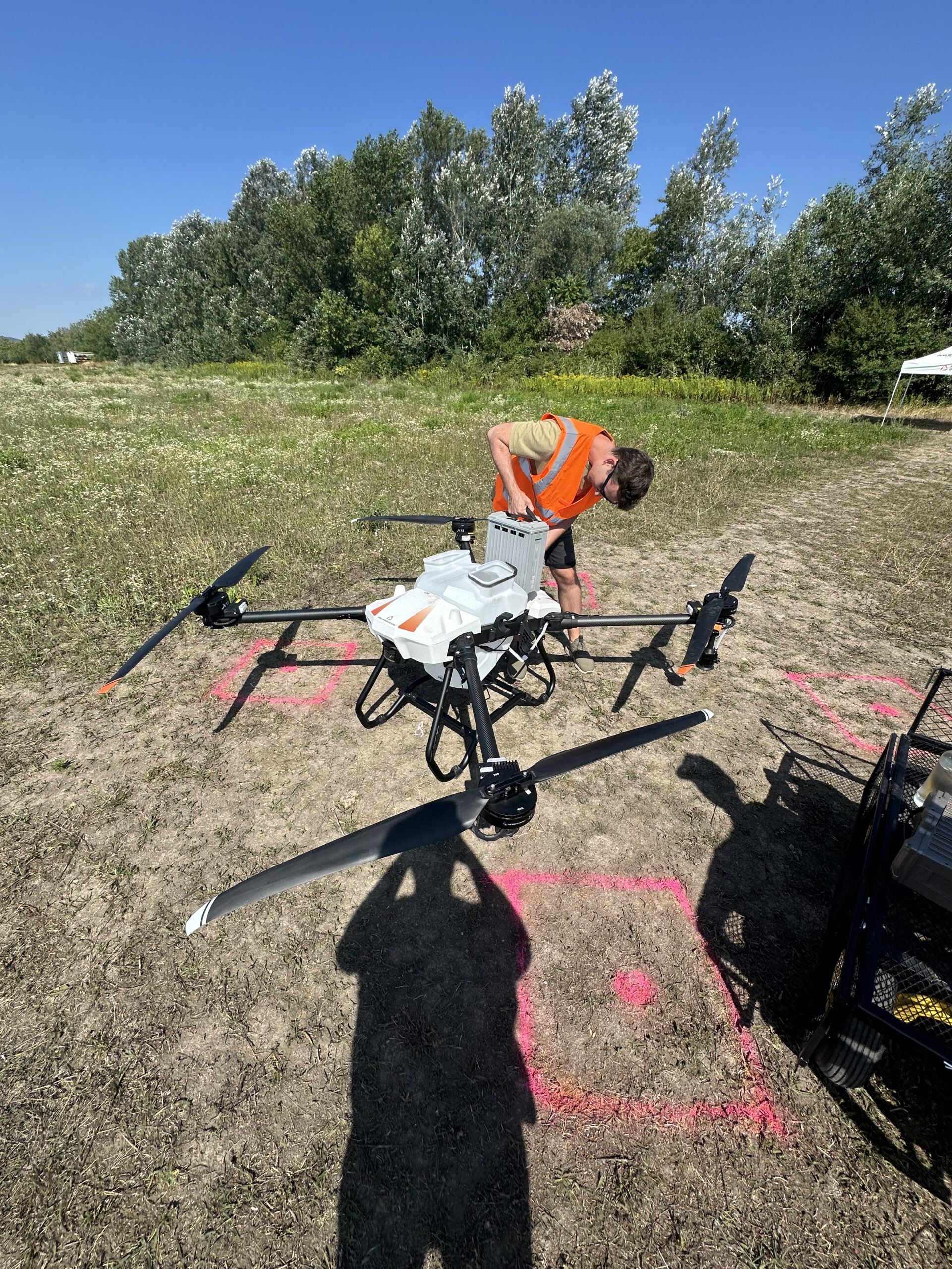
Implementation:
- Area: 100 hectares of mixed forest
- LiDAR: high density point cloud (e.g., 200 points/m²)
- Flight altitude: 30–50m depending on canopy
Results:
- Generated DEM (Digital Elevation Model) with ±10 cm accuracy
- Canopy height and biomass estimates within 5% error compared to ground truth
- Saved time: mapping done in 1 day vs 1 week via ground survey
Conclusion:
LiDAR drones unlock new possibilities in forestry, terrain planning and ecological studies.